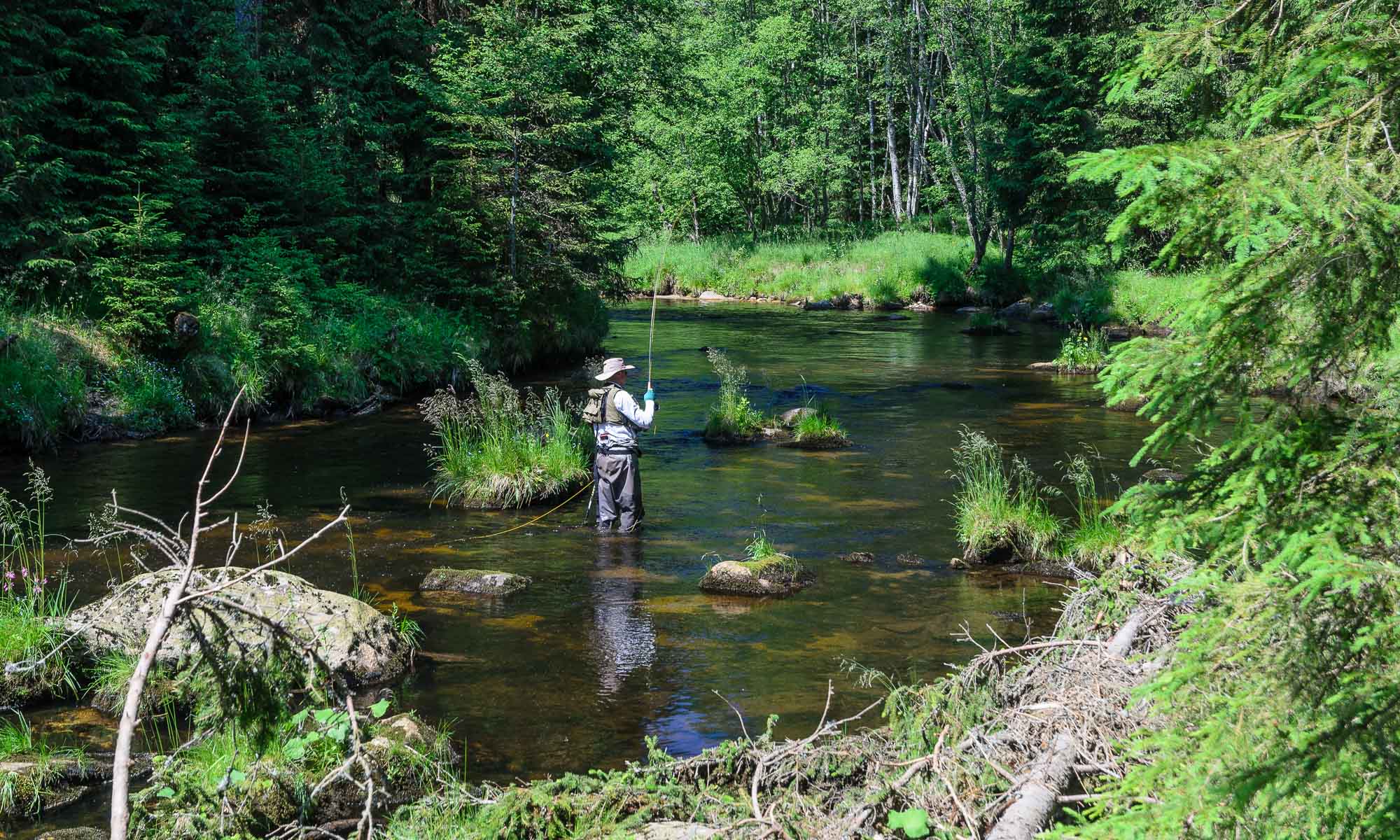

Trip to Boubin mountain


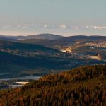

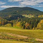

Boubin mountain is one of the best known mountains of Sumava (Bohemian Forest) and of South Bohemia as well. It towers between the town of Vimperk, which is situated north of Boubin, and the village of Lenora, which lies at the southern foot. Boubin and the nearby Bobik mountain (1,264 m) form a dominant feature of the Sumava mountains.
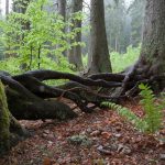
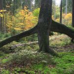
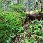
Boubin mountain is 1,362m high. It is a very well-known symbol of the Sumava mountains due to its height, typical outline, large forests, and the Boubinsky Prales nature reserve (Boubin Forest), which was already founded on its southern slopes in 1858 by the verderer of the Schwarzenbergs’ domain, Josef John. The nature trail, Boubinsky Prales (founded in 1979), leads along the most valuable core of the primeval forest.
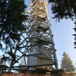
At the beginning of 2005, the new wooden observation tower was opened on the peak of Boubin mountain. It offers nice views of the Sumava mountains.
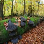
There are some stone monuments on the slopes too: the blue marked path leads from the railway station in Kubova Hut to the monument called Johnuv Kamen (John’s Stone) after the founder of the Boubinsky Prales reserve; another hoarstone can be found on the crossing of the green, blue and red signs below the peak – it is called Krizova Smrc (“The Cross Spruce”) and it stands in the place where the borders of three former forest districts met in the past; the yellow marked trail, which goes from the top to the small villages of Vcelna and Sumavske Hostice, passes the other hoarstone, called the Monument.
Some other areas, besides Boubinsky Prales, are protected here as well. One of them is the Jilmova Skala protected area (Elm Rock, 812 ha), which is situated not far from Zaton (part of Lenora). Another area is the Milesicky Prales (Milesice Forest). It lies on the eastern slope of the Boubin mountain, near the Krizová Smrc monument.
The peak of Boubin mountain is accessible along the blue marked trail from the settlement of Kubova Hut (about 5 km), or from the settlement of Zaton (a part of the village Lenora; about 5 km). Another way is possible along the red signed path from the towns of Vimperk (about 15 km) or Volary (about 20 km), or along the yellow one from the small village of Vcelna pod Boubinem (about 5 km). The green marked path leads from the car park, which is located near the settlement of Idina Pila (about 2 km north-west of Zaton), to the Boubinsky Prales reserve. Visitors then can continue along the blue marked path to the top (about 7 km).
[googlemaps https://www.google.com/maps/embed?pb=!1m18!1m12!1m3!1d10472.091030268703!2d13.809300845193443!3d48.99112434885771!2m3!1f0!2f0!3f0!3m2!1i1024!2i768!4f13.1!3m3!1m2!1s0x4774b85ce16e620b%3A0xa30647528079ceb2!2zQm91YsOtbg!5e0!3m2!1scs!2scz!4v1544894891796&w=400&h=400]